
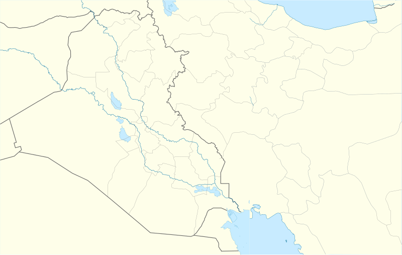
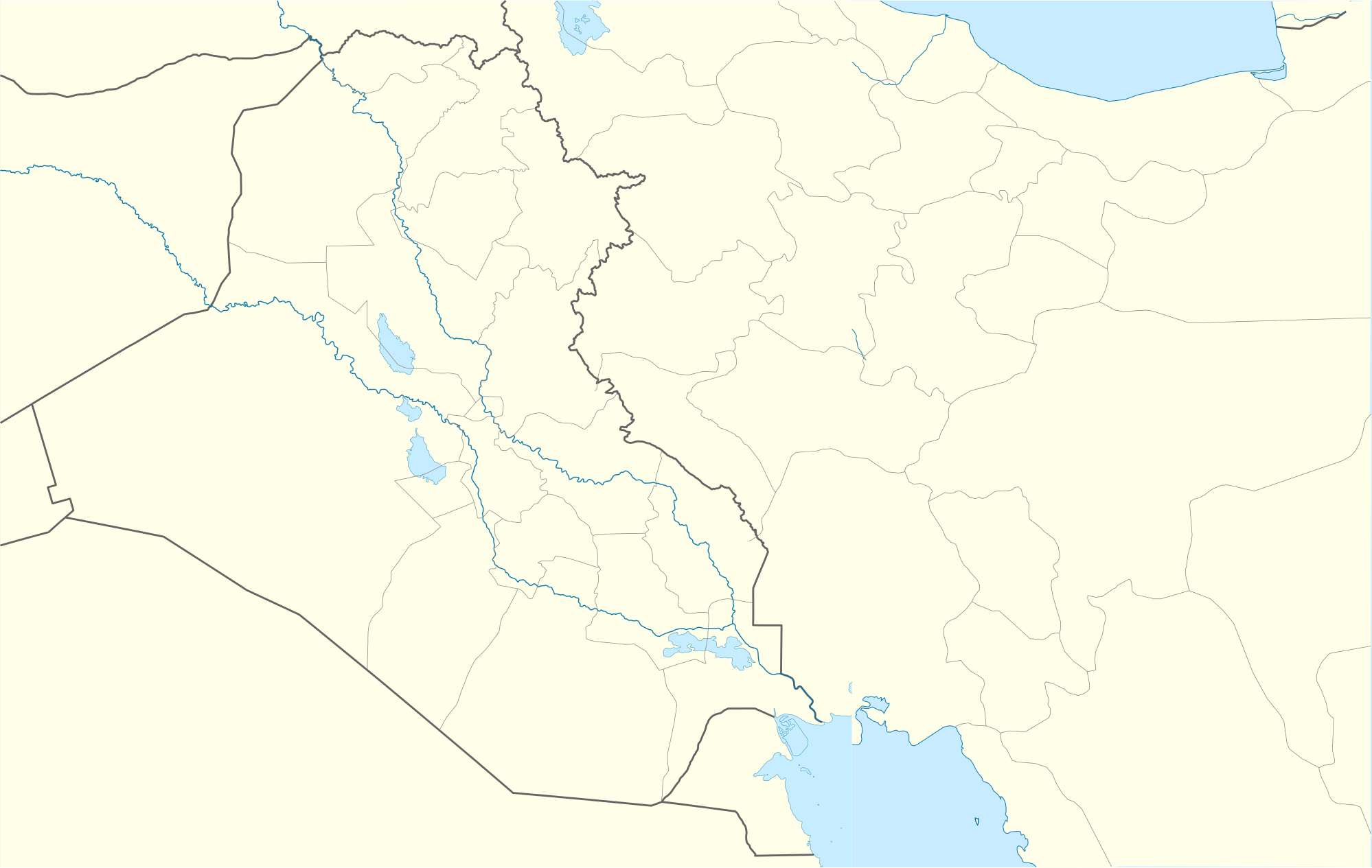
File:Mesopotamia location map2.svg

此 SVG 檔案的 PNG 預覽的大小:800 × 507 像素。 其他解析度:320 × 203 像素 | 640 × 405 像素 | 1,024 × 648 像素 | 1,280 × 810 像素 | 2,560 × 1,621 像素 | 1,998 × 1,265 像素。
原始檔案 (SVG 檔案,表面大小:1,998 × 1,265 像素,檔案大小:320 KB)
| 描述 | Location map for Mesopotamia (second version) |
| 日期 | (UTC) |
| 來源 | |
| 作者 |
|
| 這是一張修飾過的圖片,即本圖片是用軟體修改過後的版本。原版圖片來源:Iraq location map.svg。
|
此檔案採用共享創意 姓名標示-相同方式分享 3.0 未在地化版本授權條款。
- 您可以自由:
- 分享 – 複製、發佈和傳播本作品
- 重新修改 – 創作演繹作品
- 惟需遵照下列條件:
- 姓名標示 – 您必須指名出正確的製作者,和提供授權條款的連結,以及表示是否有對內容上做出變更。您可以用任何合理的方式來行動,但不得以任何方式表明授權條款是對您許可或是由您所使用。
- 相同方式分享 – 如果您利用本素材進行再混合、轉換或創作,您必須基於如同原先的相同或兼容的條款,來分布您的貢獻成品。
原始上傳日誌
This image is a derivative work of the following images:
- File:Iran_location_map.svg licensed with Cc-by-sa-3.0, GFDL
- 2010-07-11T20:08:23Z Uwe Dedering 1200x1071 (655114 Bytes) 31. province Alborz
- 2010-02-18T17:44:29Z Uwe Dedering 1200x1071 (721726 Bytes) Bahrain above water, no disputed countries
- 2010-02-18T13:00:48Z Uwe Dedering 1200x1071 (725716 Bytes) {{Information |Description={{en|1=Location map of Iran. Equirectangular projection. Strechted by 118.0%. Geographic limits of the map: * N: 40.0° N * S: 24.5° N * W: 43.5° E * E: 64.0° E Made with Natural Earth. Fre
- File:Iraq_location_map.svg licensed with Cc-by-sa-3.0, GFDL
- 2008-08-21T20:36:28Z NordNordWest 1241x1264 (323475 Bytes) {{Information |Description= {{de|Positionskarte von [[:de:Irak|Irak]]}} Quadratische Plattkarte, N-S-Streckung 115 %. Geographische Begrenzung der Karte: * N: 37.7° N * S: 28.4° N * W: 38.4° O * O: 48.9° O {{en|Location m
Uploaded with derivativeFX
檔案歷史
點選日期/時間以檢視該時間的檔案版本。
| 日期/時間 | 縮圖 | 尺寸 | 用戶 | 備註 | |
|---|---|---|---|---|---|
| 目前 | 2010年10月28日 (四) 12:51 | | 1,998 × 1,265(320 KB) | 배우는사람 | {{Information |Description=Location map for Mesopotamia (second version) |Source=*File:Iran_location_map.svg *File:Iraq_location_map.svg |Date=2010-10-28 12:50 (UTC) |Author=*File:Iran_location_map.svg: Uwe Dedering |
檔案用途
全域檔案使用狀況
以下其他 wiki 使用了這個檔案:
- am.wikipedia.org 的使用狀況
- ar.wikipedia.org 的使用狀況
- ceb.wikipedia.org 的使用狀況
- da.wikipedia.org 的使用狀況
- de.wikipedia.org 的使用狀況
- en.wikipedia.org 的使用狀況
- es.wikipedia.org 的使用狀況
- fa.wikipedia.org 的使用狀況
- fr.wikipedia.org 的使用狀況
- ja.wikipedia.org 的使用狀況
- kn.wikipedia.org 的使用狀況
- ko.wikipedia.org 的使用狀況
檢視此檔案的更多全域使用狀況。