
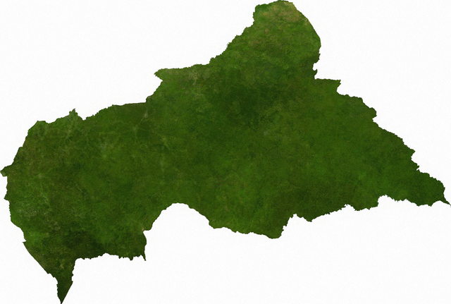
File:Satellite map of the Central African Republic.png

預覽大小:800 × 539 像素。 其他解析度:320 × 216 像素 | 640 × 431 像素 | 1,024 × 690 像素 | 1,280 × 862 像素 | 1,566 × 1,055 像素。
原始檔案 (1,566 × 1,055 像素,檔案大小:1.72 MB,MIME 類型:image/png)
ECW to TIFF to PNG (compression level 9).
| This file is in the public domain, because it was generated by a user, using free sources available at The Map Library.
Note that this does not include the maps in the Global Administrative Areas section of the homepage. |
原始上傳日誌
| date/time | username | resolution | size | edit summary |
|---|---|---|---|---|
| 2006-07-13T03:41:14Z | User:Cwolfsheep | 1566×1055 | 1.72Gb | [[Wikipedia:ECW|ECW]] to [[Wikipedia:TIFF|TIFF]] to [[Wikipedia:PNG|PNG]] (compression level 9). {{PD-MapLibrary}} |
檔案歷史
點選日期/時間以檢視該時間的檔案版本。
| 日期/時間 | 縮圖 | 尺寸 | 使用者 | 備註 | |
|---|---|---|---|---|---|
| 目前 | 2009年7月6日 (一) 16:45 | | 1,566 × 1,055(1.72 MB) | BetacommandBot | move approved by: User:Kintetsubuffalo This image was moved from File:Cenafrep sat.png ECW to TIFF to PNG (compression level 9). {{PD-MapLibrary}} [[Category:Maps of the Central African Re |
檔案用途
下列頁面有用到此檔案:
全域檔案使用狀況
以下其他 wiki 使用了這個檔案:
- af.wikipedia.org 的使用狀況
- cs.wikipedia.org 的使用狀況
- en.wikipedia.org 的使用狀況
- ka.wikipedia.org 的使用狀況
- mk.wikipedia.org 的使用狀況
- pl.wikipedia.org 的使用狀況
- sg.wikipedia.org 的使用狀況
- tl.wikipedia.org 的使用狀況
- uk.wikipedia.org 的使用狀況