
File:Map of Illinois counties.svg

此 SVG 檔案的 PNG 預覽的大小:336 × 599 像素。 其他解析度:134 × 240 像素 | 269 × 480 像素 | 430 × 768 像素 | 574 × 1,024 像素 | 1,148 × 2,048 像素 | 3,453 × 6,157 像素。
原始檔案 (SVG 檔案,表面大小:3,453 × 6,157 像素,檔案大小:83 KB)
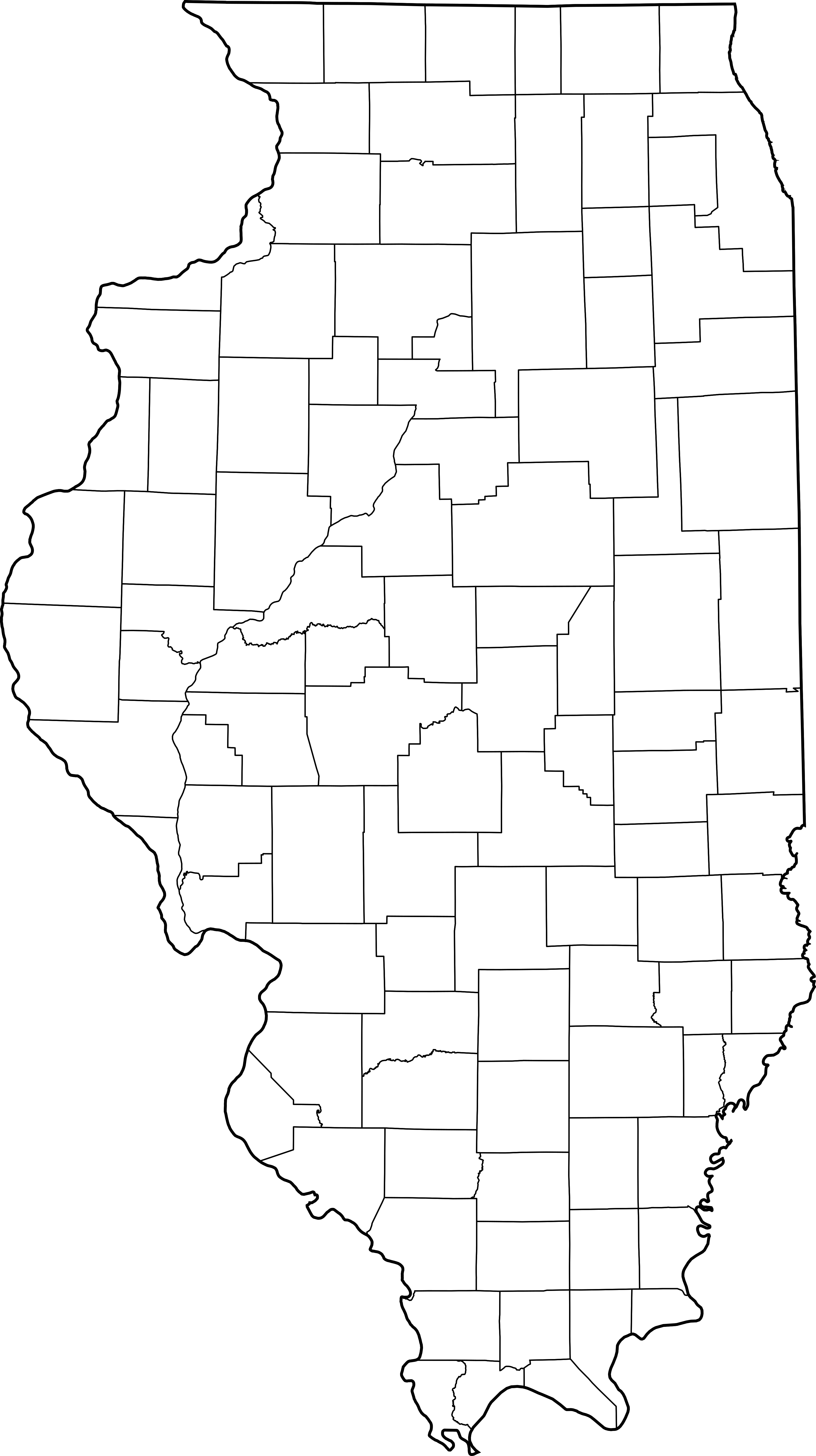
This is a map showing Illinois counties
Modification of David Benbennick's map. For more information, see Commons:United States county locator maps.
| 我,此作品的版權所有人,釋出此作品至公共領域。此授權條款在全世界均適用。 這可能在某些國家不合法,如果是的話: 我授予任何人有權利使用此作品於任何用途,除受法律約束外,不受任何限制。 |
derivative works
此檔案衍生的作品: Illinois judicial districts map.png
檔案歷史
點選日期/時間以檢視該時間的檔案版本。
| 日期/時間 | 縮圖 | 尺寸 | 使用者 | 備註 | |
|---|---|---|---|---|---|
| 目前 | 2007年2月2日 (五) 14:18 | | 3,453 × 6,157(83 KB) | Dual Freq | This is a map showing Illinois counties Modification of David Benbennick's map. For more information, see Commons:United States county locator maps. {{PD-self}} Maps of Illinois]] |
檔案用途
下列7個頁面有用到此檔案: