
File:Rietveld-SchroderhuisUtrechttheNetherlands.jpg
本预览的尺寸:748 × 600像素。 其他分辨率:300 × 240像素 | 599 × 480像素 | 958 × 768像素 | 1,277 × 1,024像素 | 2,420 × 1,940像素。
原始文件 (2,420 × 1,940像素,文件大小:2.62 MB,MIME类型:image/jpeg)
| 描述 |
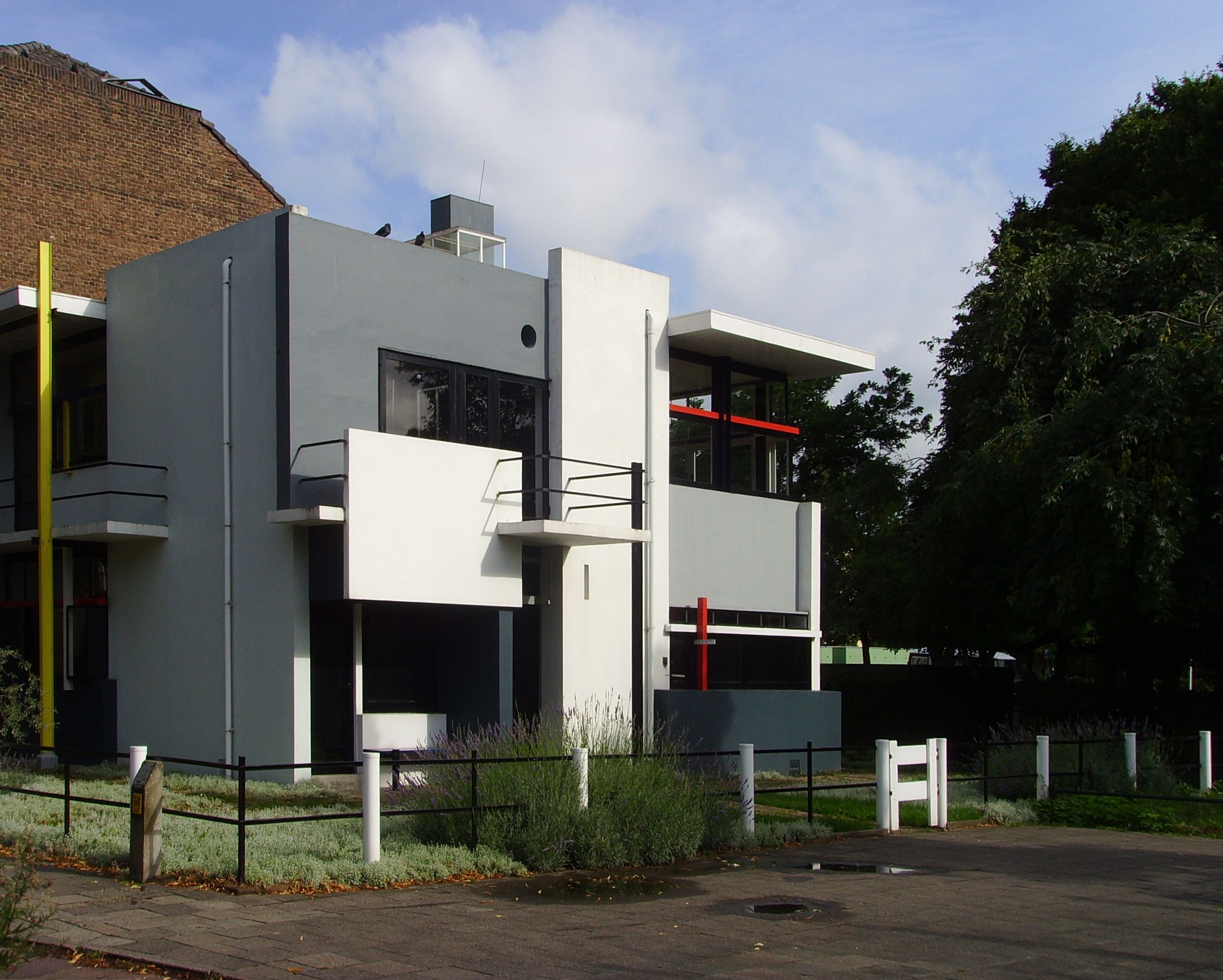
Nederlands: Het nl:Rietveld-Schröderhuis in Utrecht vanaf de Prins Hendriklaan
|
||||
| 日期 | (UTC) | ||||
| 来源 | |||||
| 作者 |
|
| 这是一张修改过的图片,这意味着它已在原版本的基础上通过软件进行了编辑,改动内容:Tweaked levels, corrected the perspective, cropped the image and added more contrast, saturation and sharpness。其原始版本为:Rietveld-Schröderhuis.jpg。修改者:Massimo Catarinella。
|
我,本作品著作权人,特此采用以下许可协议发表本作品:
| 我,本作品著作权人,释出本作品至公有领域。这适用于全世界。 在一些国家这可能不合法;如果是这样的话,那么: 我无条件地授予任何人以任何目的使用本作品的权利,除非这些条件是法律规定所必需的。 |
原始上传日志
This image is a derivative work of the following images:
- File:Rietveld-Schröderhuis.jpg licensed with PD-self
- 2008-07-22T23:45:02Z Luctor 2816x2112 (2891897 Bytes) {{Information |Description={{nl|Het [[:nl:Rietveld-Schröderhuis]] in Utrecht vanaf de Prins Hendriklaan}} {{location|52|5|6.80021816450278|N|5|8|51.74257278442383|E}} |Source=Eigen werk |Date=22 juli 2008 |Author=[[User:
Uploaded with derivativeFX
文件历史
点击某个日期/时间查看对应时刻的文件。
| 日期/时间 | 缩略图 | 大小 | 用户 | 备注 | |
|---|---|---|---|---|---|
| 当前 | 2009年1月24日 (六) 15:31 | | 2,420 × 1,940(2.62 MB) | Massimo Catarinella | {{Information |Description={{nl|Het nl:Rietveld-Schröderhuis in Utrecht vanaf de Prins Hendriklaan}} {{location dms|52|5|6.80021816450278|N|5|8|51.74257278442383|E}} |Source=*File:Rietveld-Schröderhuis.jpg |Date=2009-01-24 15:30 (UTC) |Author |
文件用途
以下页面使用本文件:
全域文件用途
以下其他wiki使用此文件:
- en.wikipedia.org上的用途
- eo.wikipedia.org上的用途
- es.wikipedia.org上的用途
- eu.wikipedia.org上的用途
- gl.wikipedia.org上的用途
- hu.wikipedia.org上的用途
- hy.wikipedia.org上的用途
- it.wikipedia.org上的用途
- ja.wikipedia.org上的用途
- ka.wikipedia.org上的用途
- kk.wikipedia.org上的用途
- nl.wikipedia.org上的用途
- pl.wikipedia.org上的用途
- ru.wikipedia.org上的用途
- uk.wikipedia.org上的用途
- www.wikidata.org上的用途