
File:Cape Colony with Walvis Bay and Offshore Islands.png
本预览的尺寸:459 × 599像素。 其他分辨率:184 × 240像素 | 484 × 632像素。
原始文件 (484 × 632像素,文件大小:35 KB,MIME类型:image/png)
摘要
| 描述 |
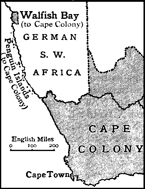
English: Map of the Cape Colony, with Walvis Bay and the Penguin Islands. |
|||
| 日期 | ||||
| 来源 | Encyclopædia Britannica, 1911 | |||
| 作者 | Internet Archive: https://archive.org/details/Encyclopedia_Britannica_1911_Complete | |||
| 授权 (二次使用本文件) |
|

许可协议
|
|
 | |
 |
文件历史
点击某个日期/时间查看对应时刻的文件。
| 日期/时间 | 缩略图 | 大小 | 用户 | 备注 | |
|---|---|---|---|---|---|
| 当前 | 2012年6月19日 (二) 11:29 | | 484 × 632(35 KB) | Abu Shawka |
文件用途
以下页面使用本文件:
全域文件用途
以下其他wiki使用此文件:
- af.wikipedia.org上的用途
- ceb.wikipedia.org上的用途
- de.wikipedia.org上的用途
- en.wikipedia.org上的用途
- it.wikipedia.org上的用途
- vi.wikipedia.org上的用途
- www.wikidata.org上的用途